Mississippi River Backwaters Excursion
Highway 35 hugs the bluffs that step down to the Mississippi River on the western edge of the state of Wisconsin. The roadway starts high above the river and gradually descends to a flat plain, sharing with a busy rail corridor an elevated berm bounded by backwaters and floodplain forests on either side. Just before Alma, Wisconsin, water begins to dominate, dotted with occasional brushy islands of vegetation. The highway veers inland for awhile until arriving at river bottoms or sloughs dense with floodplain forests and the Trempealeau National Wildlife Refuge in the delta where that river meets the Mississippi.
Slough. What a strangely mysterious word. Sloughs or backwaters are known in ecology as refugia. These habitats protect fish, waterfowl, insects and invertebrates when the main channel of the river floods. Pools, large snags of woody debris, floodplains, areas below dams and catchment basins provide the pools and riffles and quiet waters where fish can hide, insects can collect, and birds and mammals, feed.
I have viewed these landscapes through my windshield and wondered what it might be like to be “in” them the way I walk through a prairie or hike the hills of a hardwood forest. That seemed possible only from some kind of shallow keel boat. Photographing these river landscapes from a boat became one of my preoccupations – and something that I actually, literally, dreamed about.
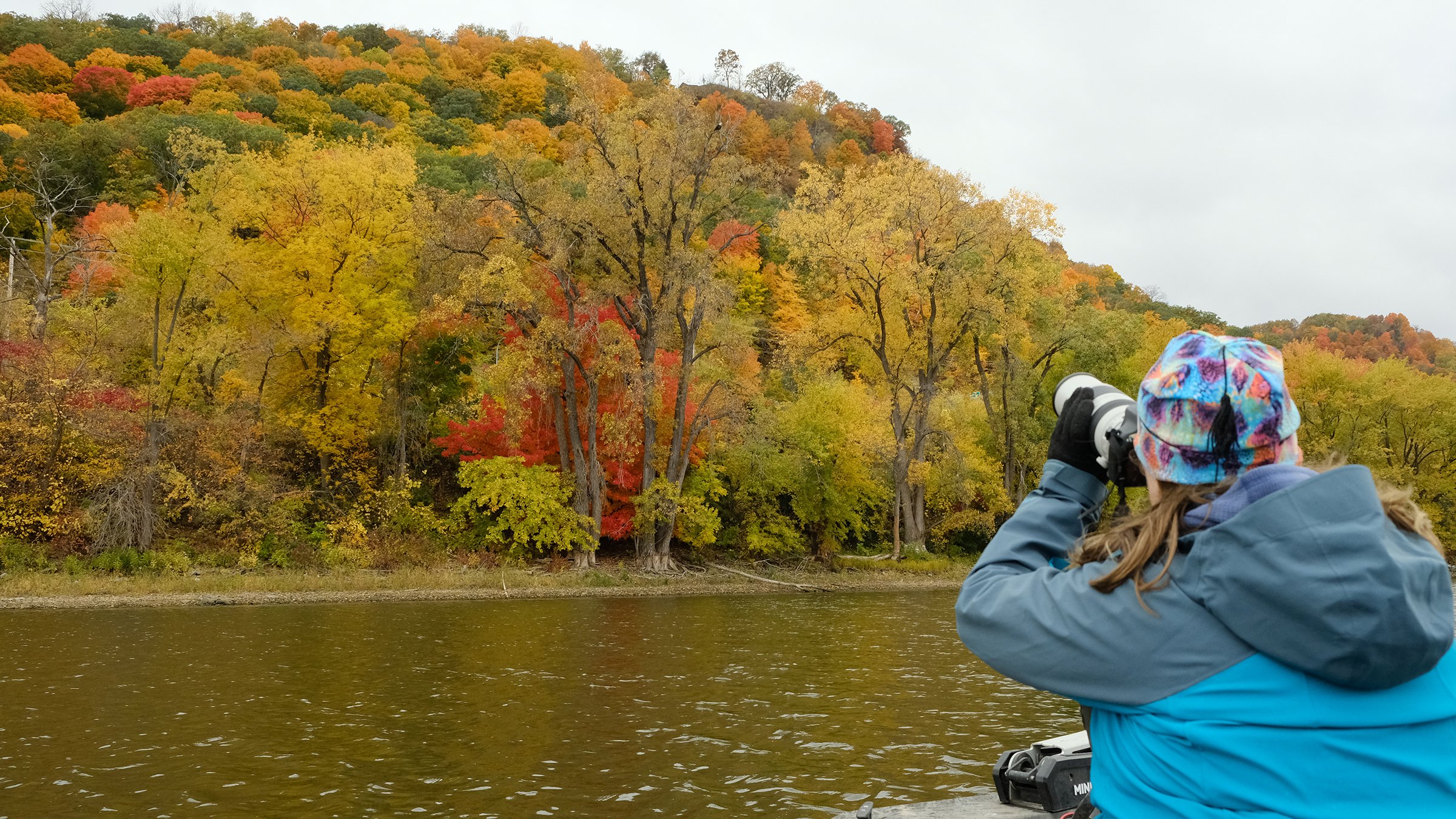
This possibility became real during a conversation with my first-cousin’s daughter who lives in La Crosse, Wisconsin. Andrea has been photographing birds for awhile and we hatched a plan to find a “boat guy” that could take us into the backwaters around La Crosse - Andrea, to photograph birds, and for me to get a sense of what these landscapes are like from the water.
Our adventure began on an chilly, overcast October day with a hearty lunch at The Root Note cafe in downtown La Crosse.

At the Logan Street Dock, we met our boat guide and departed land, heading south past barges lined up at grain elevators and down the Black River to where it meets the Mississippi. Then we wound our way north on French Slough. On one side were homes with docks tight at the river’s edge and the other side, dense floodplain forest and wildness. After a multi-year period of drought, the river was very shallow and we puttered along using a trolling motor.

French Slough is heavily settled with homes right on the river’s edge. Downed trees are required to remain in place to provide habitat and this homeowner has tethered their houseboat to a big branch
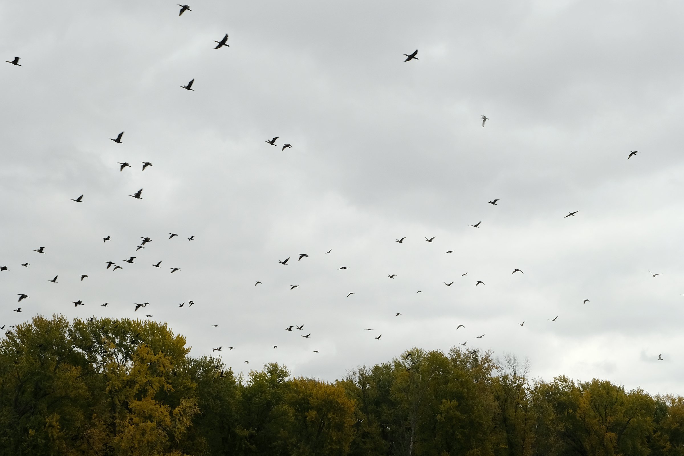
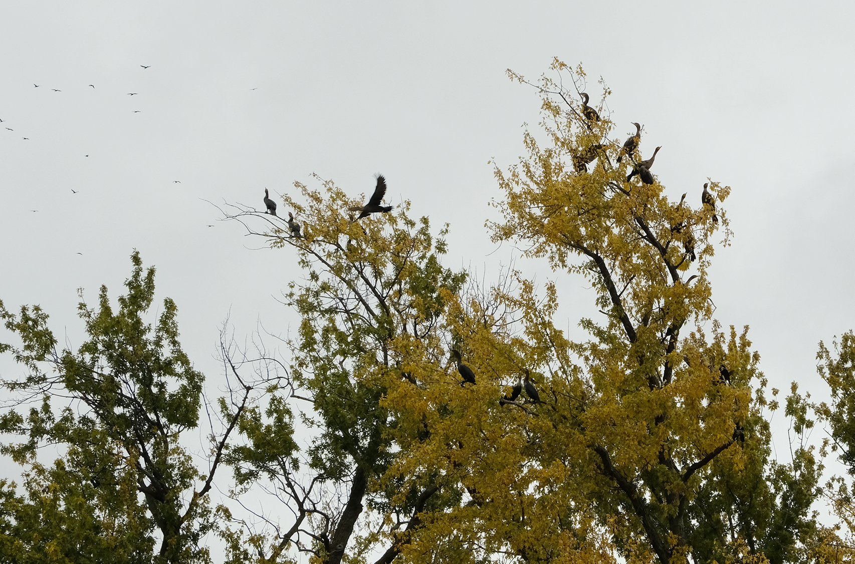
The first birds we found were cormorants gathering to migrate south. They bobbed on the water and as we approached, alighted and swirled overhead to roost in the trees. Farther on, in a bay where Interstate 90 crosses the main channel, Andrea photographed a handsome eagle taking flight.
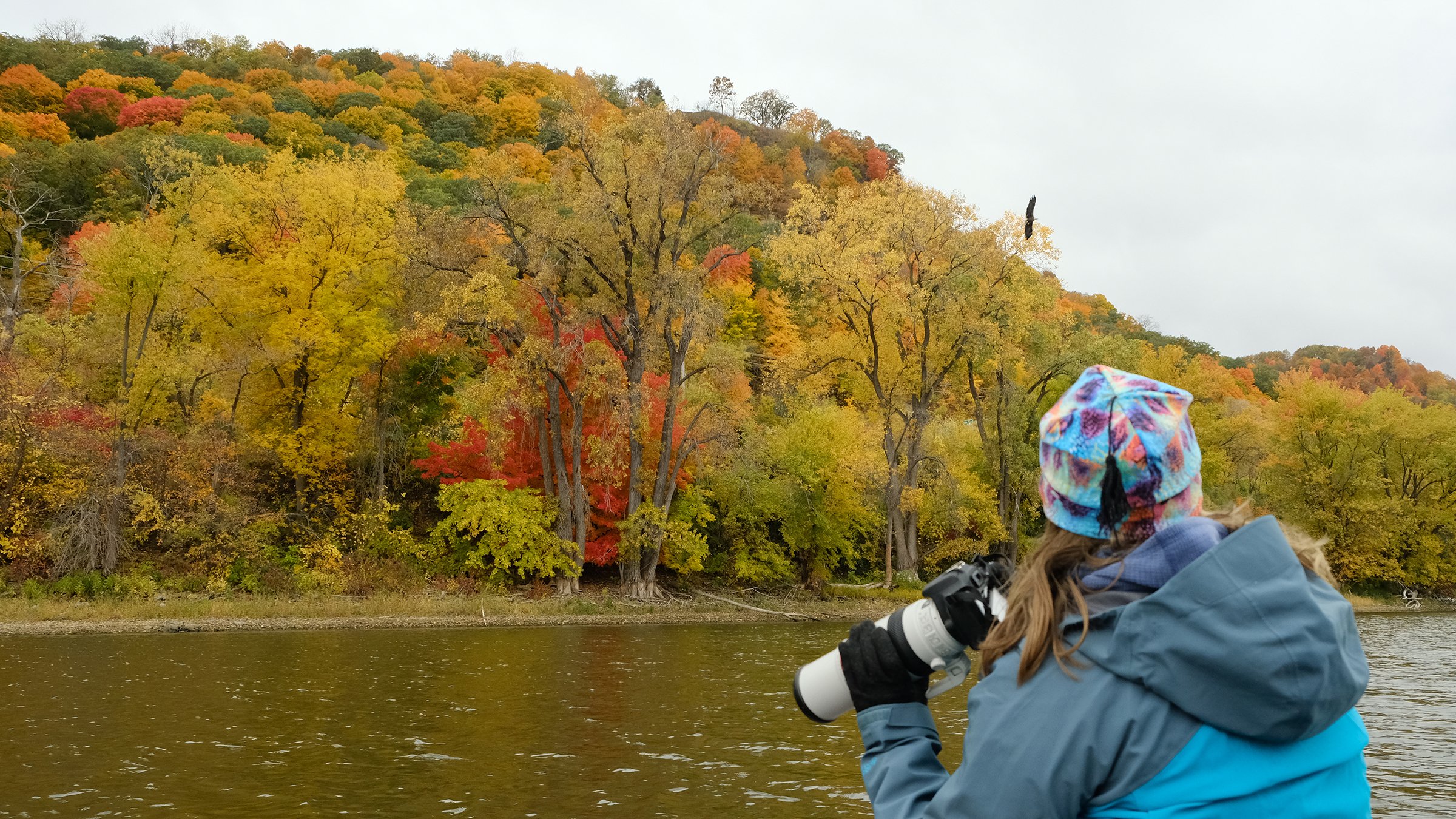
Eagle on the downbeat, taking flight. Photo by Andrea
Roaring down the main channel to another secluded slough
The water was glassy and still and barely a foot deep in some of the backwaters; the sandy bottom was visible. Floodplain forests can withstand flooding but drought takes a toll. However, the downed trees will provide refugia during the next flood event.
We backtracked to the main channel and headed south to Broken Arrow Slough.

We encountered only a few birds later in the day. The timing of our excursion was unfortunate - a fishing tournament was underway with boats churning the main channel and backwaters, seeking good fishing spots and scaring the birds away.
But the quiet, mirror-like water and overcast day made the landscape magical. The excursion was a good introduction to the aesthetic and ecological qualities of the sloughs and backwaters around La Crosse, and the edge where water meets land.
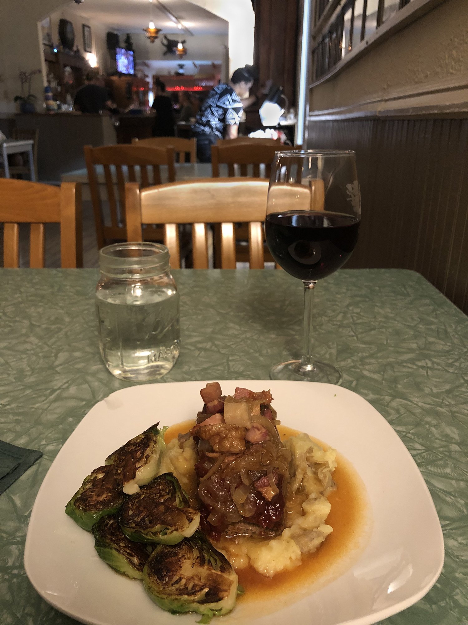
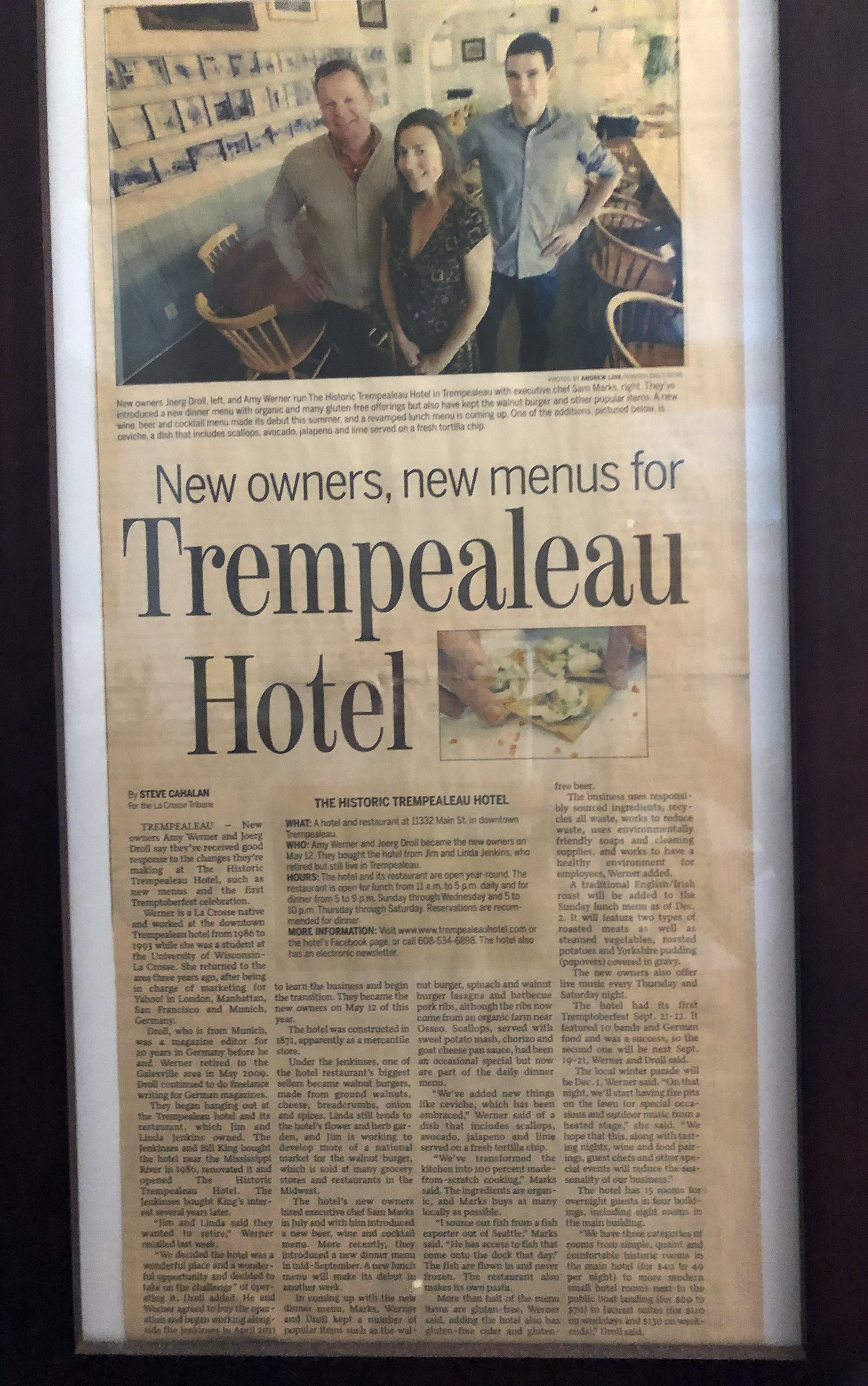
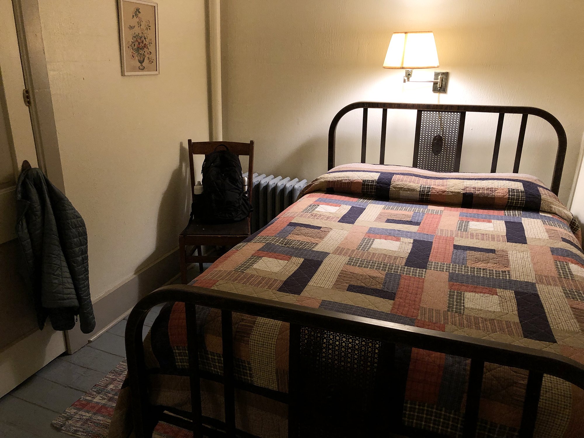
After our excursion, I needed a hot meal and a hot bath. Andrea had recommended the Trempealeau Hotel in the village of that name upriver from La Crosse, so I had made a reservation. The hotel, built in 1871, is part of Trempealeau’s Main Street Historic District.
When I travel to photograph landscapes that are new to me, I seek out inexpensive and homey places to stay that can become my base for future visits. I often stay in exactly the same room each time. I choose places about which I can develop an affection and these places become part of the story. I got lucky with the Trempealeau Hotel.
I arose early the next morning to a brilliant sunny fall day. I had arrived after dark the night before and this was my opportunity to check out the village in the daylight. Trempealeau looks like it stepped out of a painting by Edward Hopper! Main Street, lined with buildings with elaborate 19th century facades, ends down at the Mississippi River and the Army Corps of Engineers Lock & Dam 6. Almost hourly, a freight train rumbles past on the busy rail corridor between the street and the water.


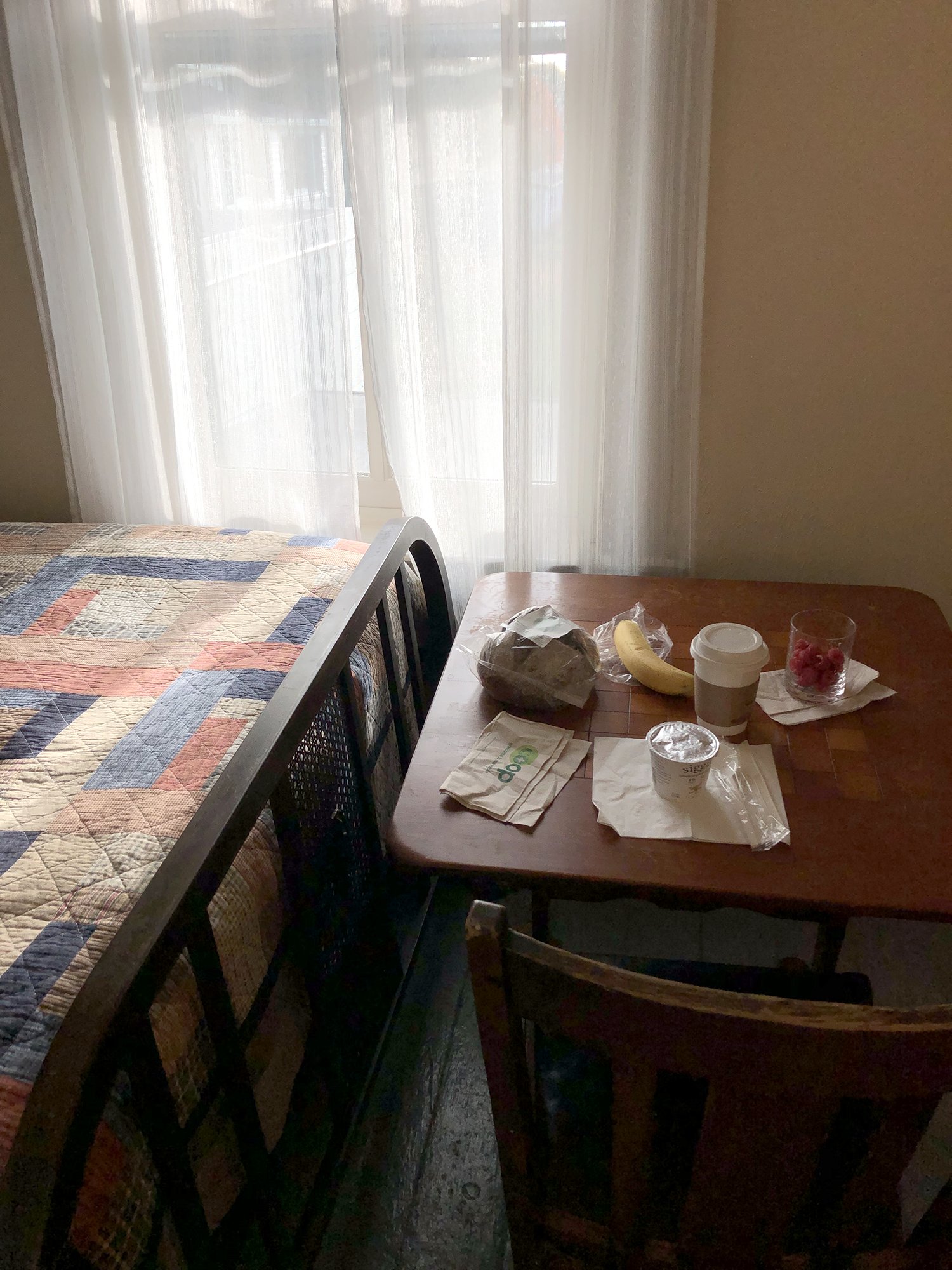
Trempealeau Hotel, Restaurant and Saloon has been lovingly restored and is a real gem. The menu features locally sourced ingredients and an excellent list of wines and beers, and I understand there’s music outdoors in the summer in the adjacent yard that’s surrounded by a picket fence.

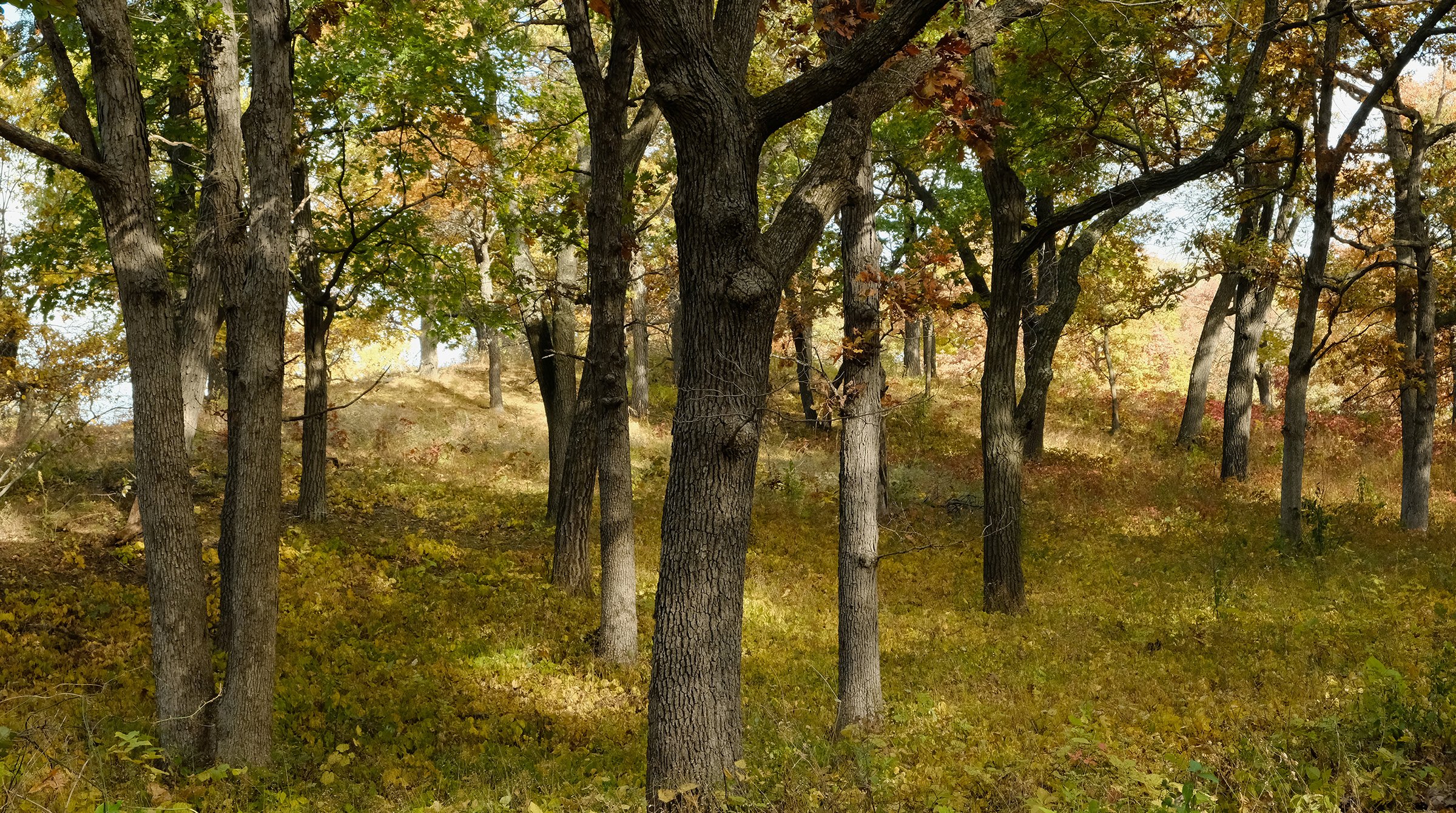
I decided it was a perfect day to visit Perrot State Park, three miles down the road from the village, where the Trempealeau and Mississippi Rivers meet. From an overlook in the park, the river bluffs framed the Trempealeau National Wildlife Refuge in the delta below.
Groves of russet colored oaks and walnut trees covered the bluff tops.

At the water’s edge, the quality of this refugia was evident. Migrating songbirds flitted about, feasting on insects and duckweed.

For future reference, I noted that Perrot State Park offers kayaks to rent and the Wildlife Refuge includes hiking trails atop dikes that could get me farther into the backwaters from the land. Two more options for exploring this landscape in 2023.
Blog Post Archive